
Questions & Answers
Frequently Asked Questions
About the Route
What is the Park City Historic Mine Route?
The Park City Historic Mine Route, or HMR, is a self-guided hiking experience that explores Park City’s silver mining history through scenic trails, preserved structures, interpretive signs, and a GPS-triggered audio guide. The route begins and ends at the Park City Museum.
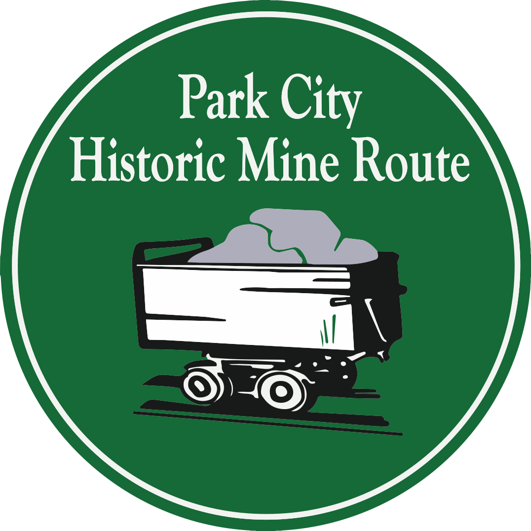
Look for our distinctive wayfinding signs with the name Historic Mine Route and a stylized mine cart with silver ore in a green circle.
The free TravelStorys audio guide is GPS-triggered, with stories from local historians and mining experts across 24 sites of historic interest. Alternative shorter routes are listed in the Hike & Bike Options section.
When will the Park City Historic Mine Route open?
The route, the 81+ wayfinding signs, the free audio guide, and the 18 interpretive signs are scheduled to launch on Miners Day, Monday, September 7, 2026.
Do I need a guide?
No guide is required. The route is self-guided and enhanced with interpretive signage and the TravelStorys GPS app, which provides audio narration for 24 sites of historic interest along the trail. Look for the green Historic Mine Route logo on the trail signs.
Is the Historic Mine Route family friendly?
Yes, the full loop route can be enjoyed by families with older children who are comfortable hiking uphill about four miles. Chairlift options can make the hike shorter and easier for those with limited time or capability. See the Hike & Bike Options section for details.
On the Trail
How long is the hike?
The full loop is approximately 7 miles and typically takes 3.5 to 4 hours to complete.
You can review several options with distances and approximate hike times on the Hike & Bike Options page. Clicking on each option gives you more detail.
What is the elevation gain?
Approximately 1,200 vertical feet from the lowest to the highest point on the route. For the full loop, the starting elevation is 7,050 feet above sea level, peaking at 8,225 feet before returning to 7,050 feet.
Is the Historic Mine Route difficult?
The hike is rated moderate, with some difficult uphill sections that are rated “difficult” on the Mountain Trails Foundation interactive map. Hikers should be comfortable with uneven terrain and elevation gain.
What are the trails like?
The HMR includes city streets and sidewalks, and the majority of the route is on singletrack dirt trails and doubletrack gravel roads.
Does the HMR have shade or sun, or both?
Both. The full hiking route starts on city streets, mostly uncovered and sunny, for the first mile. It is then variably shaded in trees between mile markers 1 and 4. The last sections are unshaded, except for a short stretch between historic sites #20 American Flag Mine and #21 Daly-Judge Aerial Tram.
Is there water on the hike?
No. It’s a good idea to bring your own water bottle. You can fill it near Main Street at the Old Town Transit Center, which has water bottle filling stations and restrooms, located at 558 Swede Alley, Park City.
What should I bring on my hike?
- Water and snacks
- Sunscreen
- Hat
- Hiking poles
- Trail runners or hiking shoes
Is there wildlife on the trail?
You may encounter wildlife on the trail; the most common in the area are moose and deer.
Bikes & Dogs
Can I ride the HMR on a mountain bike?
Yes, most of the full HMR loop is on multi-use trails, built and maintained by Mountain Trails Foundation. A few limited sections are designated Hiker Only trails; routing for bikers around these sections is described on the Hike & Bike Options pages.
Can I ride the HMR on an e-bike?
No e-bikes on singletrack trails. See Mountain Trails Foundation’s Park City Trail Guide — Etiquette & Guidelines. Additional guidelines provided by Park City Mountain Sports Club are available here.
Are dogs allowed on the Historic Mine Route?
Dogs are generally allowed on Park City trails, but should be kept under control and follow local regulations. Always check current trail guidelines before heading out; see Mountain Trails Foundation’s Park City Trail Guide — Etiquette & Guidelines.
Maps, Parking & Restrooms
Where can I get a map of the hike?
Maps of the Park City Historic Mine Route are available in a range of formats:
- Illustrated Maps — a vertical version scaled for a smartphone, plus the same map scaled for printing on 8.5×11 paper.
- Illustrated Map with Legend — includes a legend for all 24 historic sites, scaled for printing. Also available at the Park City Museum front desk for one dollar, or free for Museum members.
- TravelStorys — the audio guide includes an in-app map with historic photos for each site. You can also view it at TravelStorys.com.
- Mountain Trails Foundation — GPS coordinates you can download to your smartphone.
- AllTrails — search for “Park City Historic Mine Route.”
- Trailforks — a dedicated biking map around segments designated for hikers only.
Find all formats in Maps & Tools.
Where should I park? What is the official trailhead?
The official start and end of the hike is the Park City Museum at 528 Main Street. The China Bridge Parking Structure and public parking on Swede Alley are the closest places to park. Check the Hike & Bike Options page for alternative starting points.
Where can I fill my water bottle on Main Street?
The Old Town Transit Center has two water bottle filling stations. They are outside the restrooms, with one on the lower Swede Alley level, and the other on the upper level closer to the buses.
Where are the nearest public restrooms?
- Miners Plaza pocket park, 415 Main Street
- Next to the Park City Museum (downstairs), 528 Main Street
- Old Town Transit Center, 558 Swede Alley
Explore More & Get Involved
Where can I read the descriptions of each historic site?
Check the Historic Sites section for the historic photos and narratives at each site of interest, as featured in the TravelStorys app.
How do I sign up for your newsletter?
We’d love to keep you updated on preservation efforts and news for the Historic Mine Route. Sign up here.
I want to donate to the Friends of Ski Mountain Mining History. Where do I donate?
Thank you! You can donate here.